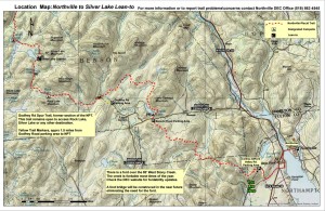
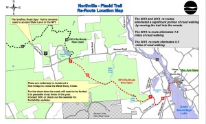
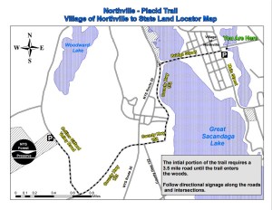
Bill, our stewardship chair just got these updated maps from the DEC. The second map shows the re-route of the road walk from the Arch in Northville to the new trail head on Gifford Valley Rd. The new road walk will be 3.5 miles instead of the original roughly 12 miles and keeps hikers off the busy Route 30.
Opening of this section of trail is tentatively scheduled for September 16th. While the trail will be open the much needed bridge over Stoney Creek has not been built and no date is set for construction is known. A roughly 90 ft ford of the river will be necessary to follow this route which during high water seasons may not be passable.
We will update when more details become available.


I’ll try to make you a better map after the chapter outing.
Kevin I just received the new maps from the DEC we will have them on the site in the next day or two.