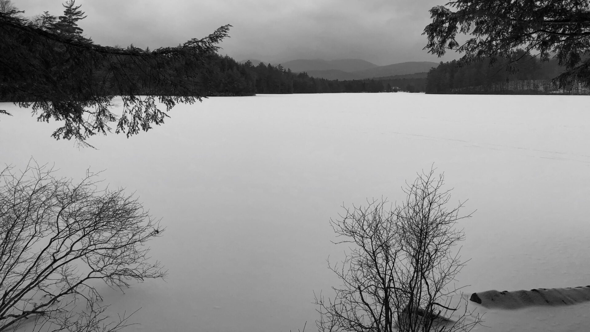
The trail winds through what many consider the wildest and most remote regions of the Adirondack Park. Much of the route crosses a high plateau encompassing the Spruce, West Canada, and Cedar Lakes areas, as well as the Cold River region. The highest elevation reached by the Northville-Placid Trail, 3,008 feet, is found along the ridge east of Blue Mountain and Tirrell Pond.
Although much of the trail lies within designated wilderness, it also passes through or near several settled areas. The route travels directly through the community of Piseco and comes close to the hamlet of Blue Mountain Lake and the village of Long Lake. Near Wakely Dam, hikers may encounter recreational vehicles and are reminded of human influence on the landscape by the massive concrete structure itself.
If there is one constant along the trail, it is change. The forest is in continual motion. Seeds germinate, seedlings emerge, and saplings stretch upward toward the light. Older trees tower overhead until age, weather, or wind brings them down. Mosses and fungi then reclaim the fallen wood, and the cycle begins anew.
Other forces shape the landscape as well, none more visibly than the beaver. Each generation searches for suitable habitat, felling trees and constructing dams that create ponds and open the forest canopy. Sunlight reaches the ground, grasses take hold along the water’s edge, and the scenery is transformed. When these changes occur near or directly on the trail, rerouting may be necessary. Over the years, sections of the Northville–Placid Trail have been relocated with the goal of maintaining a safe, enjoyable wilderness experience while respecting the natural processes at work.
The Northville–Placid Trail is marked with three types of trail markers: one bearing the NPT name, one labeled “DEC Trail Marker,” and another labeled “DEC Foot Trail.” While the signage may vary, all markers share one consistent feature—they are blue, indicating a north–south route.
