Northville-Placid Trail – Adirondack Mountain Club – Fifth Edition – Editors: Jeffrey and Donna Case
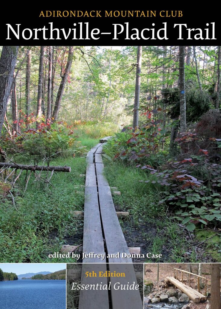
This is the trail guide published by the Adirondack Mountain Club with trail descriptions and other valuable information about hiking the Northville Placid Trail. The guide also contains a topo map of the trail to aid in planning and for use while hiking. Topics include logistics and planning, gear, sample itineraries, hiking with children, hiking with disabilities, parking of vehicles, mail drops and tips and pointers.

Northville-Placid Trail Paper Map
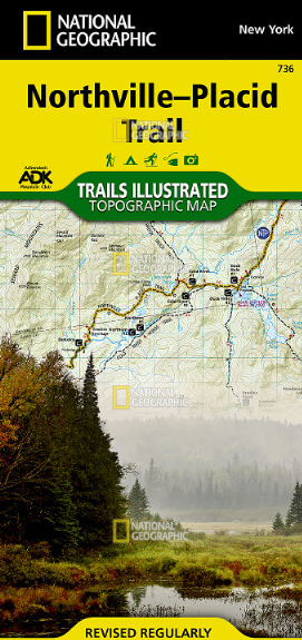
This map, a collaboration between the Adirondack Mountain Club and National Geographic, is also very valuable in planning your hike and during your hike. It is laminated so for protection from the weather. The map also show the location of lean-tos and tent-sites.
You can also buy these directly from ADK individually, as well as a bundle that includes both!
NPT Guidebook and Map

